Planning / Academic project · Fall 2023
Exploring Houston’s crime patterns
A map-based comparison of reported crime patterns, time periods, and neighborhood context.
- Year
- 2023
- Project type
- Graduate course project
- My role
- Spatial analysis & presentation
Fall 2023 · GEOG 5361: Geographic Information · SHSU
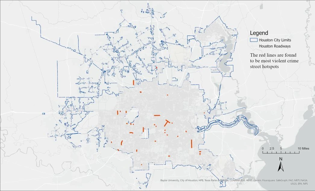
Street-level patterns from the Fall 2023 course presentation. Historical reported incidents are not a current neighborhood safety rating.
How can maps communicate patterns in reported crime and their neighborhood context?
- Mapped reported incidents by offense type, using neighborhood and street-level hot-spot maps.
- Compared patterns across the presentation’s study periods, including a discussion of changes around COVID-19 restrictions.
- Presented maps alongside neighborhood demographic context and a review of Houston’s public-safety initiatives.
Produced an academic presentation connecting citywide, neighborhood, and street-level patterns in reported incidents. The maps support discussion of how the study’s historical data vary by place, offense type, and time period.
Analyzing Crimes in Houston, Texas
Final presentation · PDF · 20 pages · 4.5 MB