Remote sensing / Academic research
Reading vegetation through multispectral imagery
Connecting UAV imagery, field observations, and a convolutional neural network to estimate switchgrass nitrogen content.
- Year
- 2025
- Project type
- Graduate course project
- My role
- CNN modeling & spatial preprocessing
Spring 2025 · GEOG 5075: Geospatial Machine Learning · SHSU
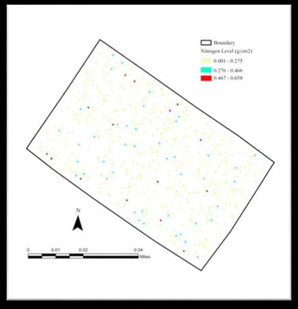
Model results from the original course report using a published UAV multispectral dataset.
Can multispectral reflectance support spatial prediction of nitrogen content in switchgrass?
- Worked with MicaSense RedEdge UAV imagery and red-edge and near-infrared predictors.
- Used ArcGIS Pro for sampling and quality checks, connecting imagery-derived inputs with field observations.
- Built a Python / TensorFlow convolutional neural network and evaluated predicted versus observed values.
The reported evaluation achieved R² of 0.8388 and RMSE of 0.0071. The work connected image processing, model evaluation, and spatial prediction.
Predicting Nitrogen Content in Switchgrass Using CNN Deep Learning and Multispectral Remote Sensing
Final report · PDF · 10 pages · 583 KB